Aerial Mapping
Aeravian provides professional aerial mapping services to architects, engineers and construction professionals who demand accuracy, reliability and data they can actually work with.
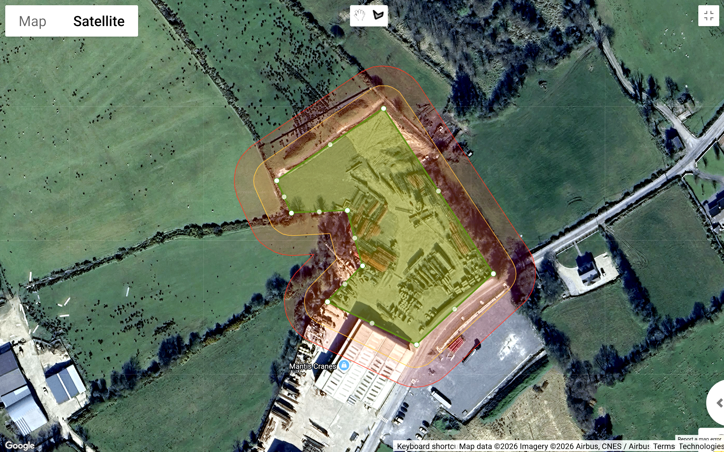
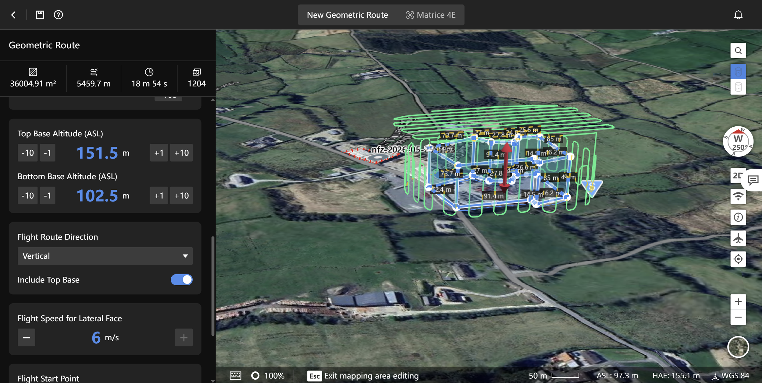
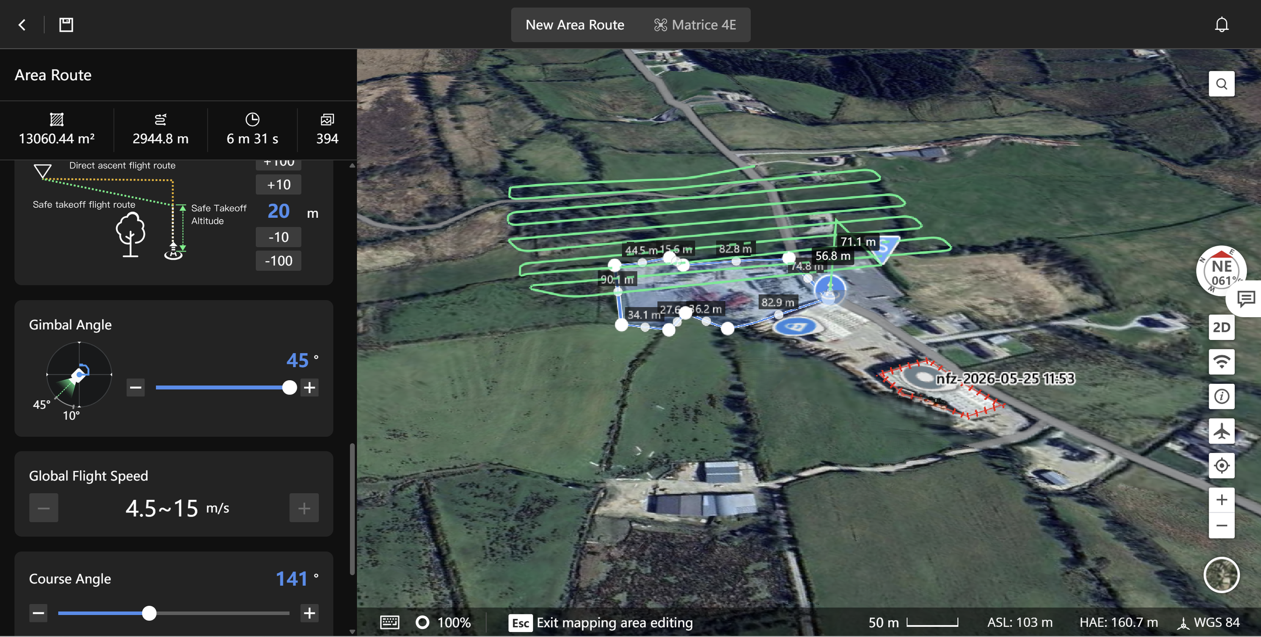
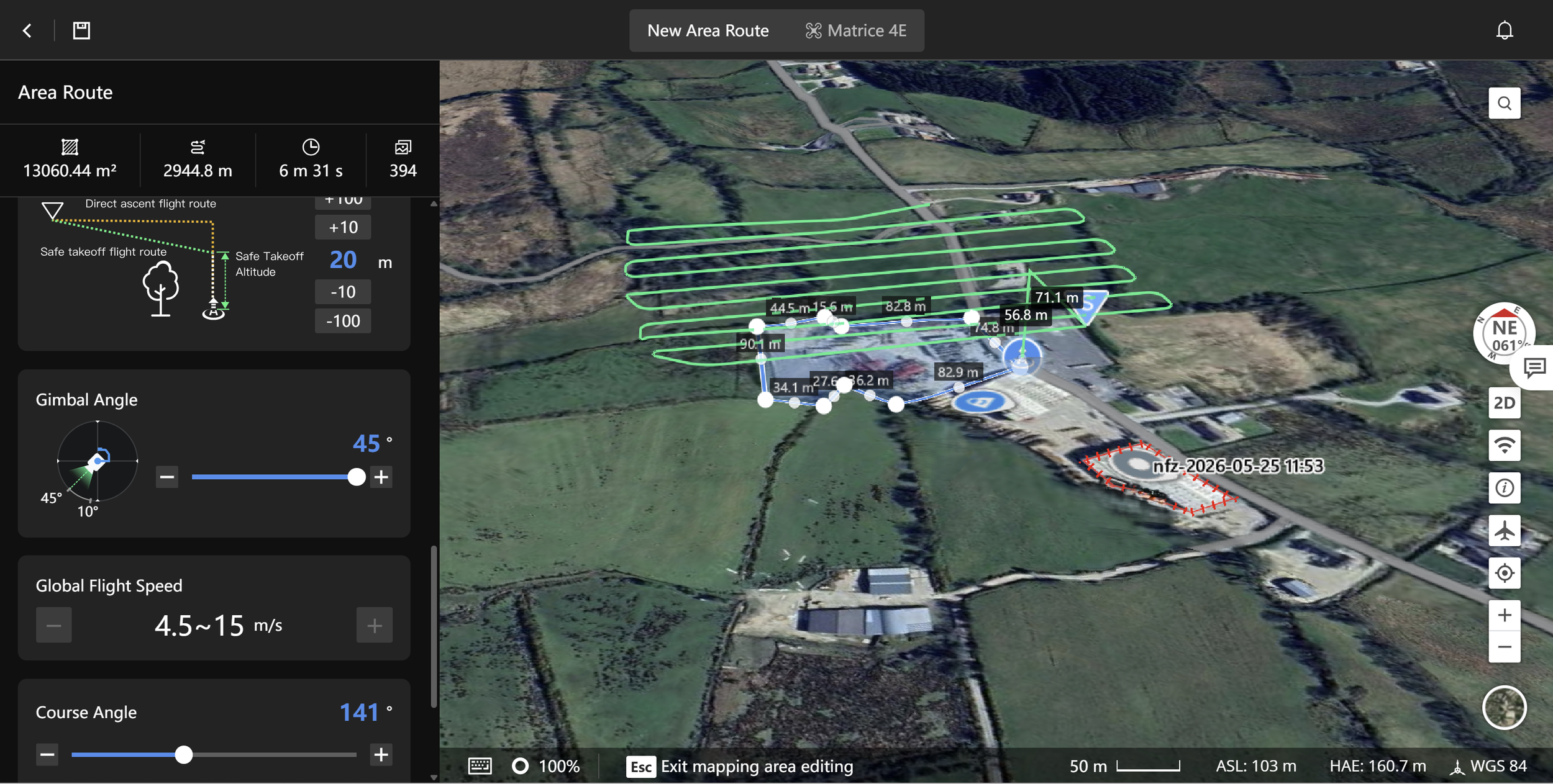
Using the DJI Matrice 4E - one of the most capable commercial mapping platforms currently available - we deliver high-resolution geotagged imagery and aerial survey data across land surveys and construction sites of all scales. Every flight is pre-programmed and automated for precision coverage, ensuring consistent, repeatable results across your project lifecycle.
Whether you need a detailed site survey at planning stage, progress mapping throughout a construction programme, or accurate land data for engineering and design purposes, Aeravian delivers clean, professionally captured data with full geotagging as standard.
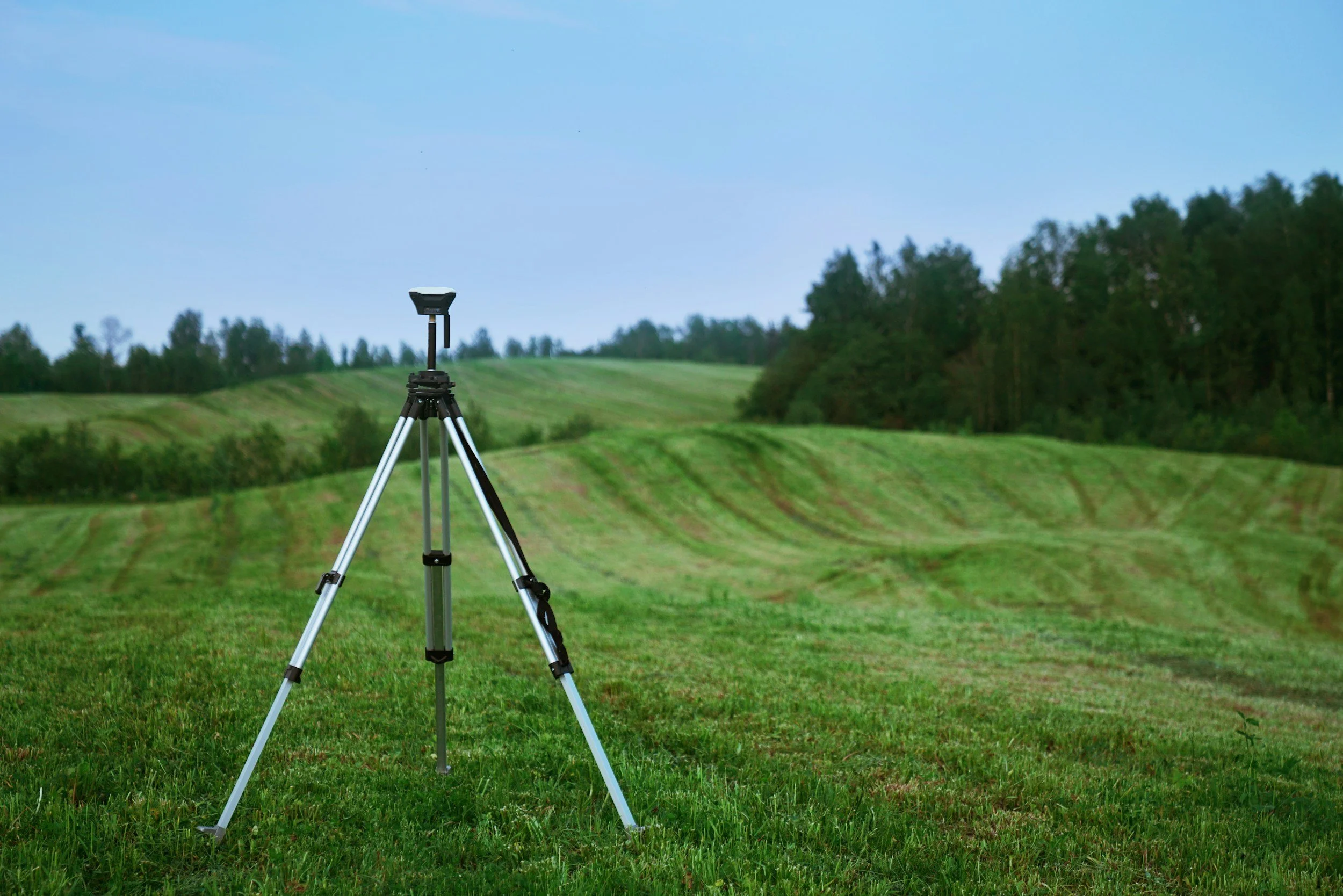
As our survey capabilities expand to include RTK precision and full orthomosaic and GIS deliverables, clients can expect Aeravian to grow alongside their requirements - always backed by the same rigorous operational standards that define everything we do.