
Specialist Applications
Donegal's coastline, landscape, heritage and rural economy are unlike anywhere else in Ireland. At Aeravian, we recognised early that the region deserves a drone operator who understands its unique character - and has developed capability to match it.
Beyond our core services, Aeravian is actively developing a range of specialist applications tailored specifically to the needs of Donegal and the wider northwest. If you have a requirement that doesn't fit a standard brief, talk to us. Chances are we've already thought about it..
Coastal & Marine
✳︎
Agriculture & Land Management
✳︎
Heritage & Tourism
✳︎
Infrastructure & Utilities
✳︎
Emergency & Community Services
✳︎
Before & After Documentation
✳︎
Coastal & Marine ✳︎ Agriculture & Land Management ✳︎ Heritage & Tourism ✳︎ Infrastructure & Utilities ✳︎ Emergency & Community Services ✳︎ Before & After Documentation ✳︎
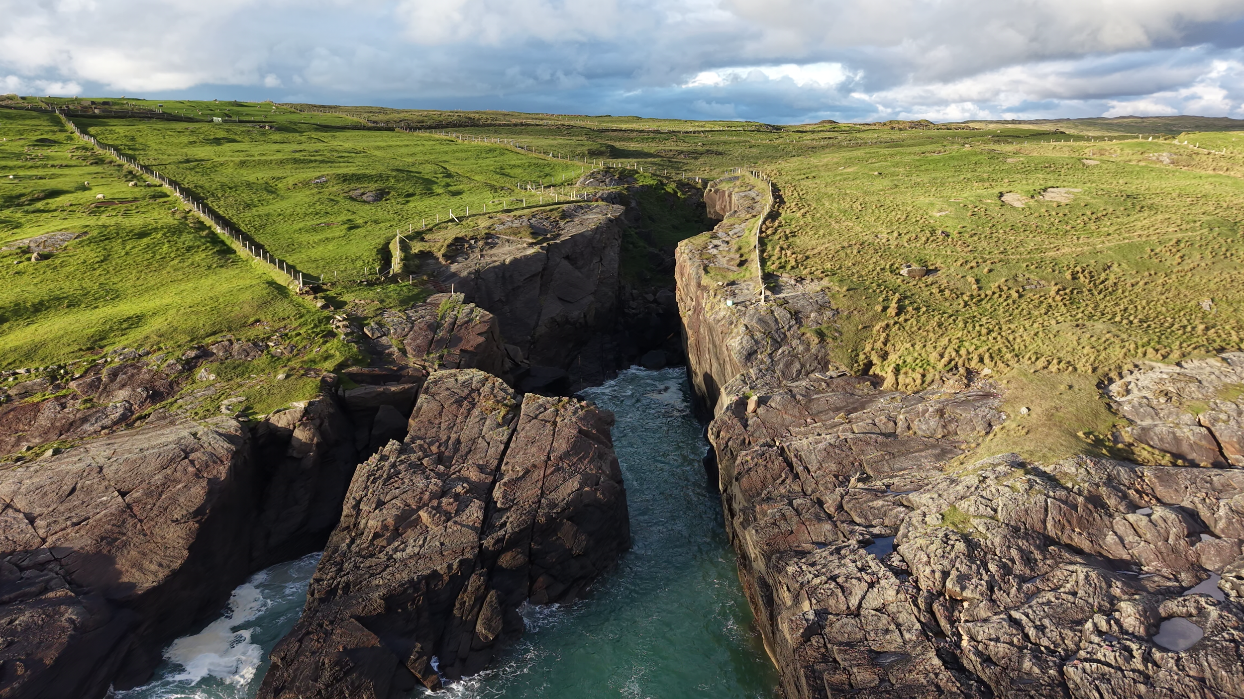
Donegal's coastline is one of its greatest assets — and one of its most demanding environments to monitor and manage.
Aeravian provides aerial support for coastal and marine operations including sea cliff and coastal erosion monitoring, aquaculture farm surveying for mussel and oyster operations, and seaweed stock mapping for commercial and research purposes. Where traditional survey methods are costly, time consuming or simply impractical along remote stretches of coastline, drone deployment offers a faster, safer and more cost effective alternative.
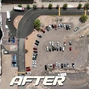
One of the most practical and underused drone applications for rural and commercial clients is simple before and after documentation.
Whether you are a farmer or business owner undertaking grant-aided works, a contractor completing a remediation project, or a landowner making improvements to buildings or land, Aeravian provides professional aerial and ground documentation at each stage — creating a clear, timestamped visual record that supports grant claims, planning compliance and dispute resolution.
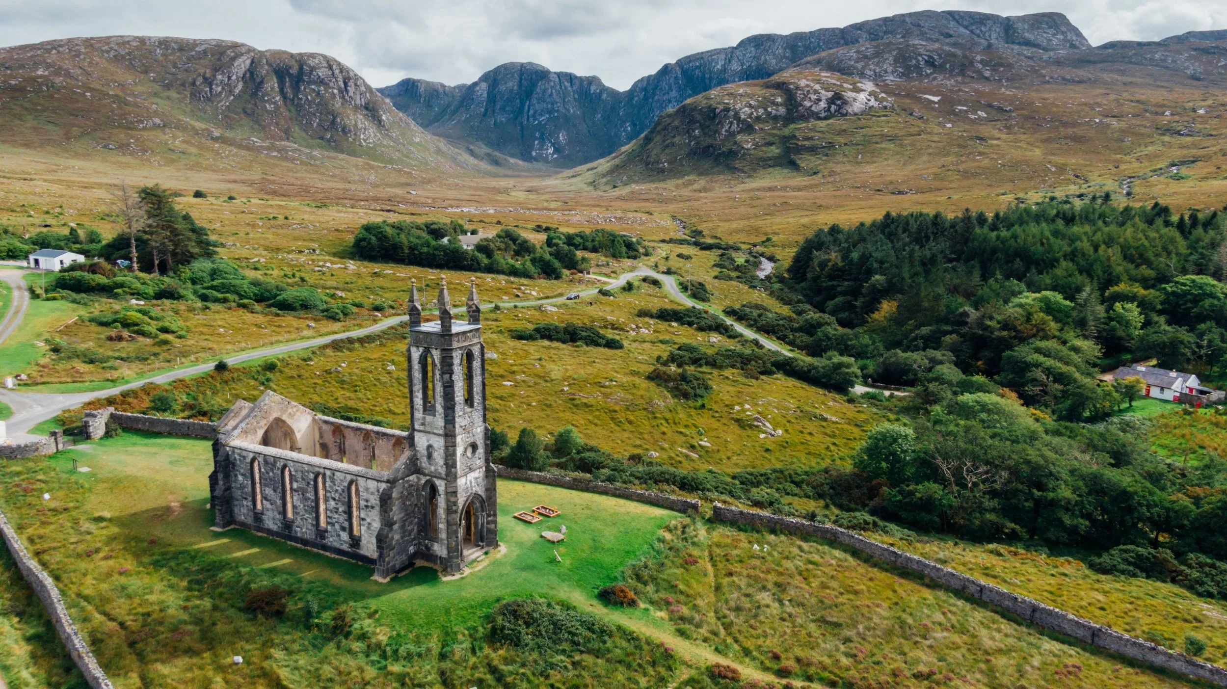
Donegal is one of the most historically rich and visually spectacular counties in Ireland. Aeravian helps protect that heritage and promote it.
We provide aerial monitoring of ringforts, archaeological sites and protected landscapes — supporting preservation bodies, local authorities and researchers with accurate visual records over time. For tourism and hospitality businesses along the Wild Atlantic Way, we produce stunning aerial content that captures the landscape at its most compelling — giving accommodation providers, activity operators and tourism bodies imagery that stops the scroll and sells the destination.
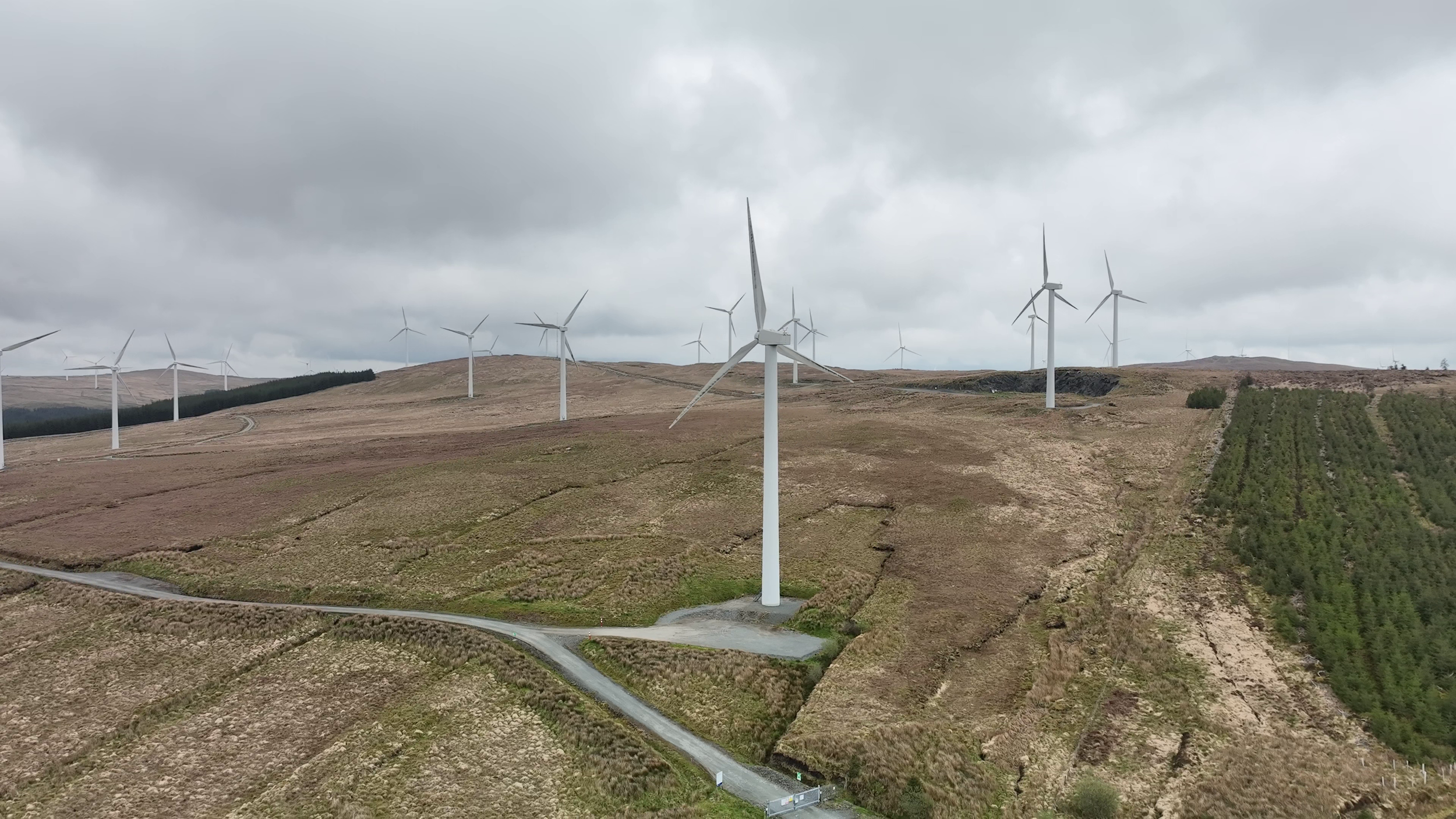
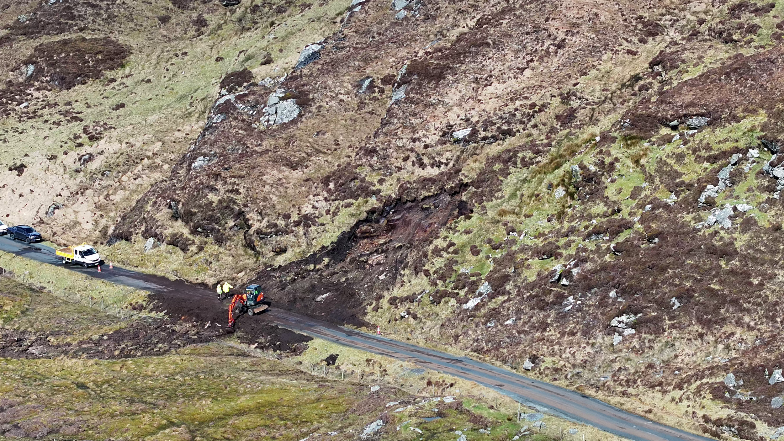
Not every infrastructure challenge fits a standard inspection brief.
Aeravian provides private road and laneway condition inspections — particularly valuable following winter weather damage — along with wind turbine pre-planning surveys for landowners and developers, and septic tank and drainage field mapping for planning, compliance and maintenance purposes. For rural property owners, councils and utilities operators managing dispersed assets across difficult terrain, we provide a faster and more practical alternative to ground-based assessment.
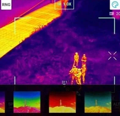
Aeravian is proud to offer support to mountain rescue and emergency services operating across Donegal's upland and remote terrain.
Drone deployment in search and rescue operations provides rapid aerial coverage of large areas, supporting ground teams with real-time visual data in time-critical situations. We are available to discuss support arrangements with relevant organisations and voluntary rescue services.
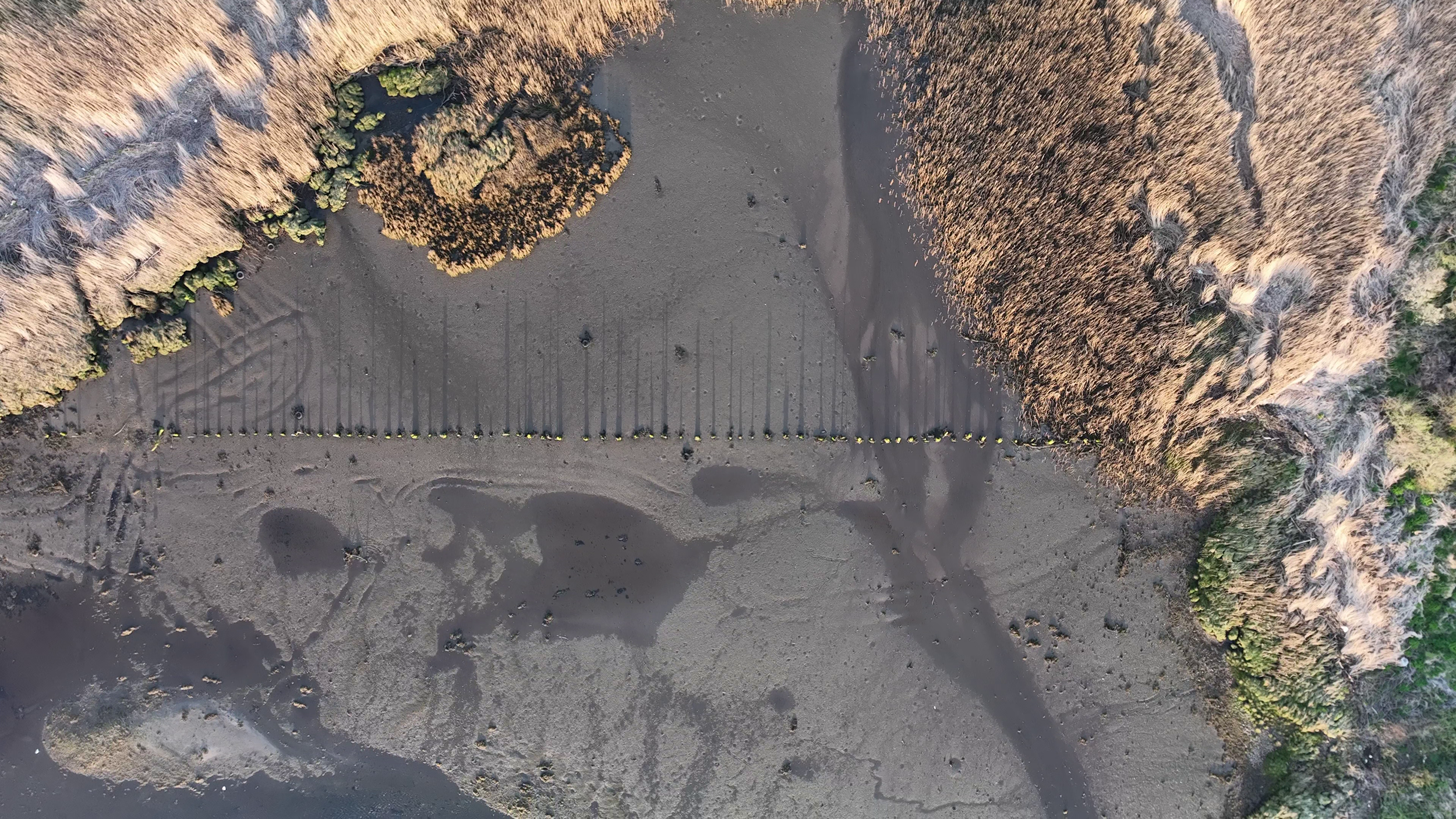
Rural Donegal presents drone applications that few operators are equipped or positioned to deliver.
We offer livestock counting and welfare checks across remote or expansive landholdings, blanket bog mapping for land management and conservation purposes, and turf bank documentation for planning, heritage and grant applications. For farmers and land managers working across challenging terrain, Aeravian provides accurate, repeatable aerial data without the need for ground access.
2025
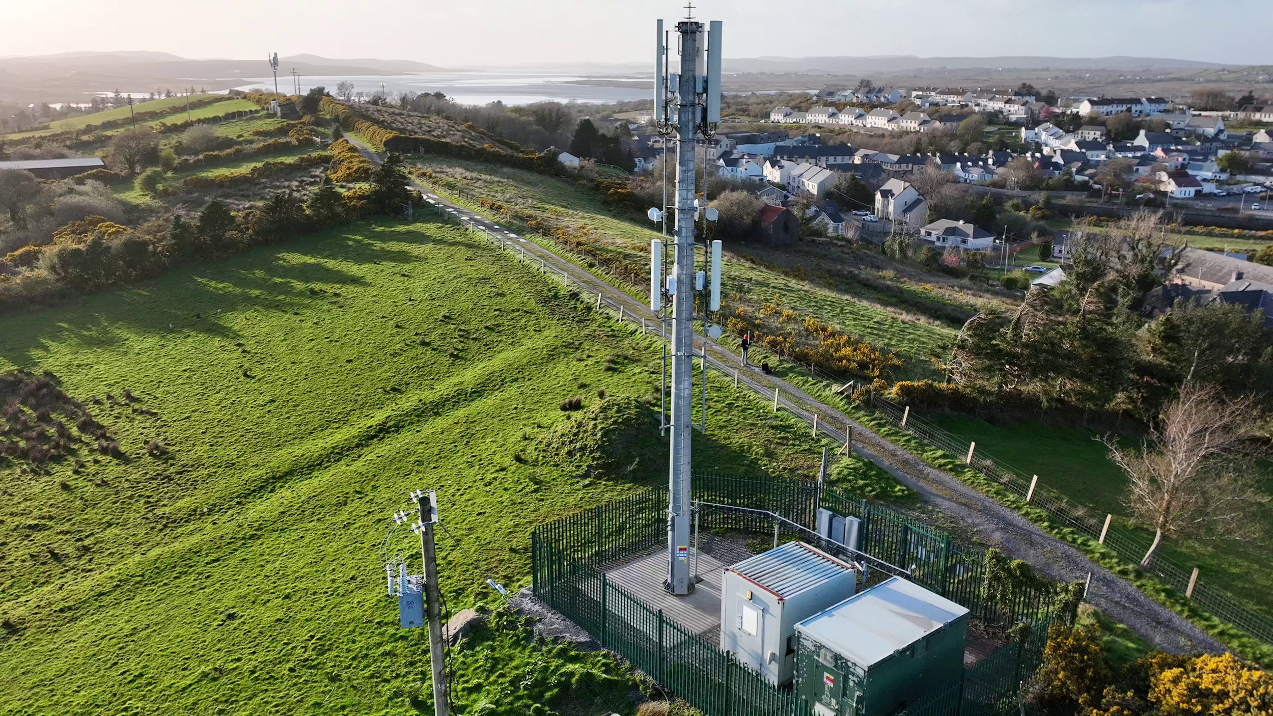
“Detailed inspection of complex structures used to mean height, risk and significant cost.
Aeravian delivers the same quality of information from the ground - protecting your people, your budget and your programme.”
Get In Touch
If you're interested in working with us, complete the form with a few details about your project. We'll review your message and get back to you within 48 hours.