
 Image 1 of 1
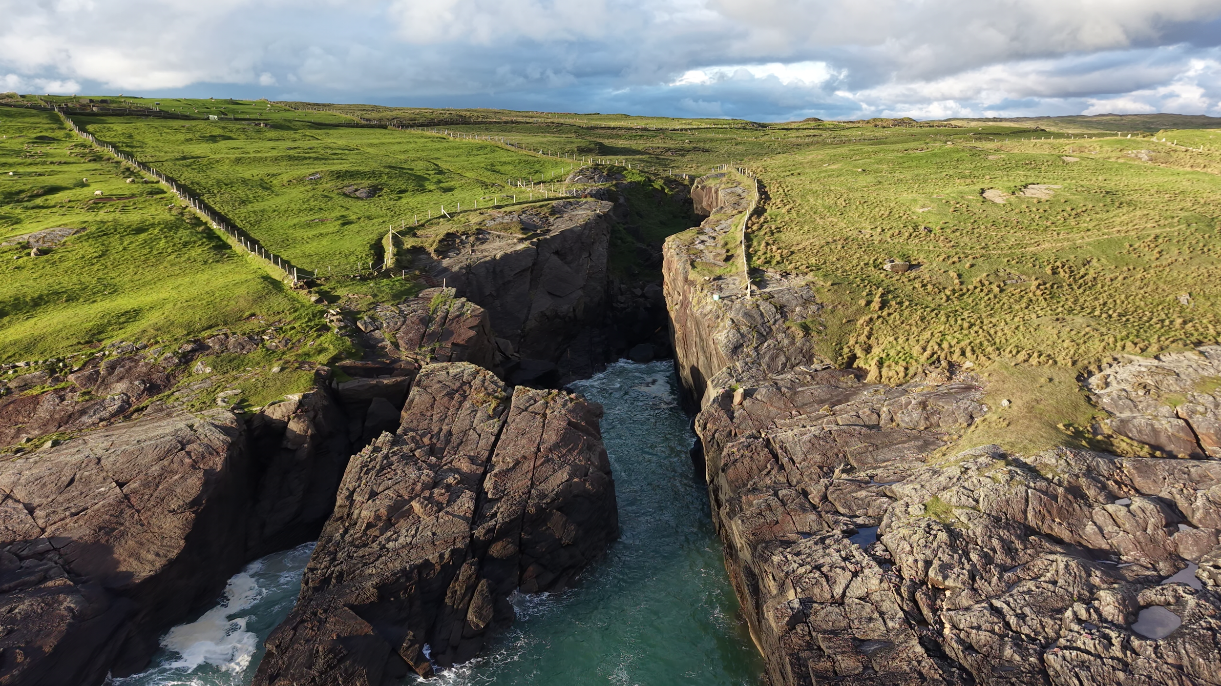
Donegal's coastline is one of its greatest assets — and one of its most demanding environments to monitor and manage.
Aeravian provides aerial support for coastal and marine operations including sea cliff and coastal erosion monitoring, aquaculture farm surveying for mussel and oyster operations, and seaweed stock mapping for commercial and research purposes. Where traditional survey methods are costly, time consuming or simply impractical along remote stretches of coastline, drone deployment offers a faster, safer and more cost effective alternative.